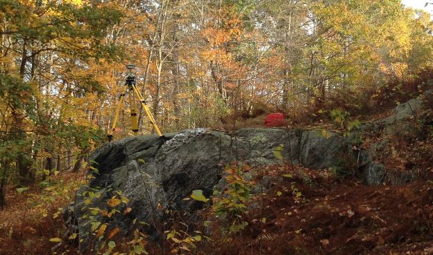
A Topographical Survey is most commonly chosen when development or improvements on the building or surrounding land is being designed. A topographical survey shows all the same items as the Boundary Survey, however land elevations and contour lines are depicted on the survey. Contractors, Engineers and Architects will use the Topographical Survey in order to help them in their design and develop the lot and determine what type of building they can add. Often this type of survey will also include utility information such as Septic & Sewer, Drainage, gas or water information as that will assist designers of where the utilities are.
Tree location and diameter often accompany a topographic survey and using our GPS Rover System we can give elevations in the National Elevation Datum (NAVD-1988) If required.